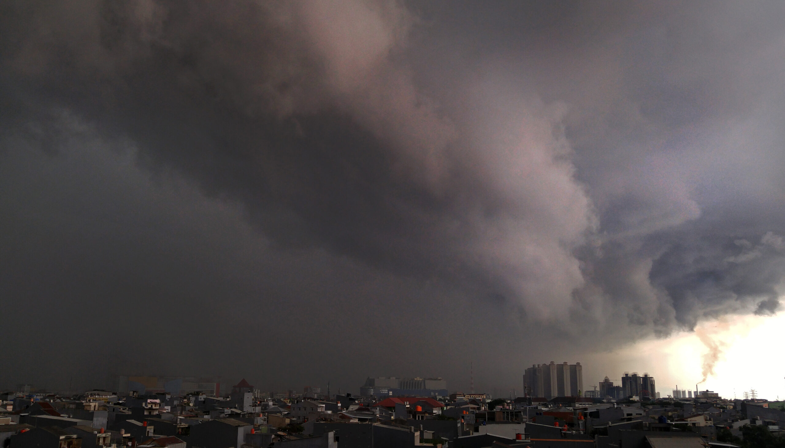
Extreme weather is predicted to strike several regions in Indonesia, including DKI Jakarta. For this reason, the DKI Jakarta Provincial Government (Pemprov) will implement weather modification technology (TMC) to prevent extreme weather from the end of the year until the beginning of the year.
“Later, Mr. Isnawa Adji [Head of BPBD] will coordinate with BRIN [National Research and Innovation Agency], and the Air Force [Air Force] to be able to anticipate the 28th and so on,” said Heru Budi in Jakarta, Tuesday (27/12/2022).
Heru also said he would make efforts to dredge the river to deal with flooding due to extreme weather. He also hopes that with this anticipation there will be no disaster towards the end of the year until early 2023.
Not only that, Heru said that his party continues to coordinate with buffer zones, namely Bogor, Depok, Tangerang, and Bekasi (Bodetabek) regarding extreme weather.
“This is routinely carried out by the head of the DKI BPBD, cooperation in information exchange, movement of disaster management policies, this has been carried out routinely,” he said
BRIN researcher Erma Yulihastin previously said that Jakarta and surrounding areas (Jabodetabek) have the potential to be hit by major flooding due to extreme rains and storms.
“Whomever you live in Greater Jakarta and especially Tangerang or Banten, please be prepared for extreme rain and violent storms on December 28, 2022,” Erma Yulihastin said via Twitter on December 25.
Emma said that the terrible storm came from the sea and moved to land via two routes. The first route comes from the west via the westerly wind which brings rainstorms from the sea (western burst). The further passage from the north via strong surface winds.
Erma said there were two storms to watch out for, namely tropical cyclone Ellie in Australia and Seroja-like cyclones.
“What needs to be watched out for next is not Ellie’s cyclone but a new vortex storm that is growing in the south of NTB which has the potential to continue to strengthen and grow into a Seroja-like cyclone, because the core of the storm’s vortex will be above land,” she said via text message.
“This is what has made the rains persistent in Bali-Lombok-Nusa Tenggara for the next few days since Friday (12/24),” she continued.
During the Seroja-like growth process, she said, “a very large energy excitation occurs which triggers the formation of other mesoscale (widespread) convective storms in several locations in Indonesia such as the Java Sea which is connected to Lampung and the Flores Sea.”
