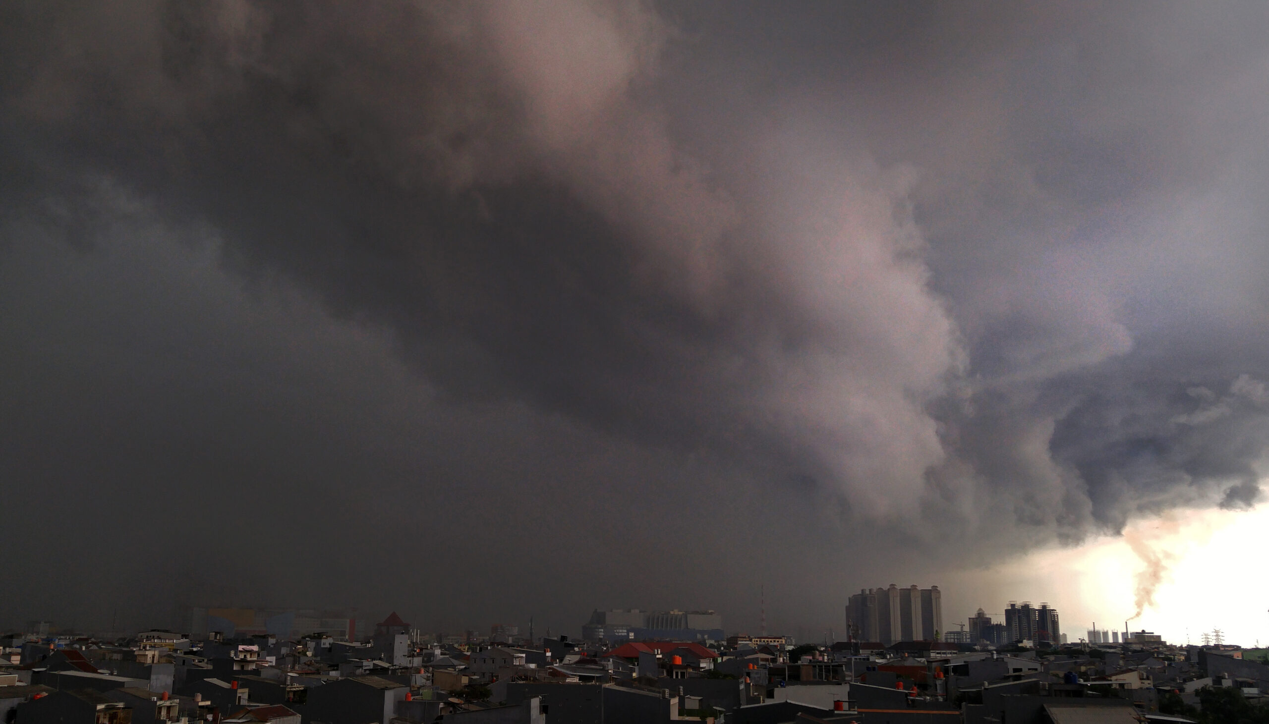
Extreme weather threatens several areas of Indonesia from the end of the year to early 2023. Regarding this phenomenon, the Meteorology, Climatology, and Geophysics Agency (BMKG) gave a complete explanation.
These extreme weather phenomena are in the form of heavy to very heavy rains, rain accompanied by lightning, and strong winds which often cause hydrometeorological disasters. In addition, there are also high waves in some waters and the potential for Cumulonimbus (CB) clouds.
The head of the BMKG, Dwikorita Karnawati, explained a number of these phenomena.
According to her, based on BMKG observations, these conditions are related to the significance of atmospheric dynamics which can increase the potential for extreme weather during the Christmas 2022 and New Year 2023 (Nataru) periods.
As for the update on atmospheric dynamics based on the latest weather analysis, the BMKG said that the dynamic conditions of the atmosphere around Indonesia still have significant potential to increase rainfall in several areas in the coming week.
Atmospheric dynamic conditions that can trigger an increase in rainfall include the Asian Monsoon.
It shows significant activity in the last few days with the potential to be accompanied by cold calls and cross-equatorial flow phenomena which can significantly increase the growth of rain clouds in western, central, and southern Indonesia.
The Asian cold cry is a phenomenon that is quite common when the Asian Monsoon is active which indicates the potential for cold air masses to flow from the Asian continent to the south.
The impact of the emergence of this cold call can increase the potential for rainfall in the western region of Indonesia when accompanied by the CENS (cross equatorial northerly surge) phenomenon which indicates that there is a flow of cold air masses from the north entering Indonesian territory across the equator.
Furthermore, there are indications of the formation of a low-pressure center around the Australian region which can trigger the formation of a pumping pattern and wind slowdown around the southern part of Indonesia.
This can increase the potential for the growth of rain clouds and strong winds around Sumatra, Java, and Nusa Tenggara, as well as have an impact on increasing high waves in Indonesian waters.
For this reason, the BMKG issued some recommendations so that related parties can make preparations and prevention.
