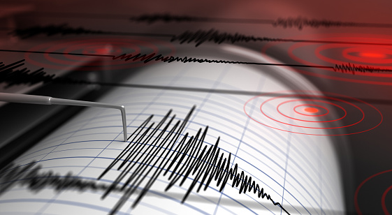
Several areas in Indonesia had an earthquake on Friday (18/2) early this morning. The earthquakes were recorded to be mild, but some people reported that the tremors were quite strong. The earthquake occurred in Pangandaran, Bandung, and also Luwu. The following is a breakdown of the earthquake and its causes.
- Pangandaran Earthquake
Friday, February 18, 2022, at 02.50.58 WIB, the South Indian Ocean region of Java, West Java was rocked by a tectonic earthquake. The results of the BMKG analysis show that this earthquake has an updated parameter with a magnitude of M5.0. The epicenter of the earthquake is located at coordinates 9.39° South Latitude; 107.02° east longitude, or to be precise, located at sea at a distance of 248 km southwest of Kab. Pangandaran, West Java at a depth of 10 km.
This earthquake is a shallow type of earthquake due to the subduction activity of the Indo-Australian Plate. It is concluded based on the location of the epicenter and the depth of the hypocenter. The results of the analysis of the source mechanism show that the earthquake has a downward shear movement mechanism (oblique normal).
Based on the estimated shaking map (shakemap), this earthquake caused shocks in the areas of Cidaun, Sindangbarang, and Agrabinta, Cianjur with an intensity scale of II – III MMI (Vibration felt real in the house. The vibration felt as if a truck was passing). So far, there have been no reports of damage caused by the earthquake. The modeling results show that this earthquake is NOT TSUNAMI POTENTIAL.
- East Luwu Earthquake
At 03:42:21 WITA this morning, the East Luwu Regency was also shaken by a tectonic earthquake. The results of the BMKG analysis show that this earthquake has an updated parameter with a magnitude of M 4.8. The epicenter of the earthquake was located at coordinates 2.38 South Latitude and 120.89 East Longitude, or precisely located on land at a distance of 38 km Northwest of East Luwu – South Sulawesi at a depth of 10 km.
Looking at the location and depth of the hypocenter, this earthquake is classified as a shallow earthquake due to the activity of the Matano Fault which is close to the epicenter.
The shock of this earthquake was felt in Mangkutana and Kalaena III-IV MMI (During the day it was felt by many people in the house, outside by several people, pottery was broken, windows/doors creaked and walls creaked), Wotu II-III MMI ( Vibrations are felt real in the house. Vibrations are felt as if a truck was passing). So far, there have been no reports of damage caused by the earthquake. The modeling results show that this earthquake has NO TSUNAMI POTENTIAL.
As of 05.30 WITA, the results of BMKG monitoring showed that there were 2 aftershock activities with magnitudes M2.6 and M1.6.
- Bandung Earthquake
The earthquake also hit Bandung at 01:30:44 WIB. The KAB-BANDUNG-JABAR region and its surroundings were rocked by a tectonic earthquake. The results of the BMKG analysis show that this earthquake has a magnitude of M = 2.7. The epicenter is located at coordinates 7.28 South Latitude and 107.63 East Longitude, or to be precise, it is located on land at a distance of 30 km southwest of KAB-GARUT-JABAR at a depth of 2 kilometers.
The earthquake that occurred was a shallow earthquake caused by the activity of the Garsela Fault.
The impact of the earthquake depicted by the BMKG Shakemap and based on reports from the community, this earthquake was felt in the Kertasari area with an MMI II Intensity Scale (Vibrations were felt by several people, light objects that were hung swayed). However, until now there have been no reports of damage to buildings as a result of the earthquake.
The public is asked to remain calm and not be reckless. However, they are also asked to be vigilant in case of stronger aftershocks come.


