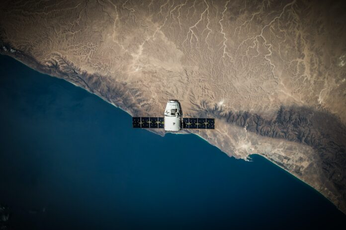
Airbus, a European multinational aerospace corporation, will soon put its two new Pléiades Neo satellites into orbit later this year. Therefore, Airbus offers the satellite to the ministry or the private sector. This satellite is claimed to be useful for military activities to the New Capital construction.
Head of Sales Asia Pacific Airbus Defense and Space (Intelligence) Hugues Pavie said the company’s last two Pléiades Neo satellites had passed final-stage trials and were ready to go into orbit by the end of 2022.
The satellite can capture visuals with high accuracy, up to a resolution of 30 centimeters (cm), and can be used for military purposes.
“One of the most obvious functions of Pléiades Neo is for defense and intelligence purposes. Information derived from accurate images and sent in a short time, can be for geospatial intelligence purposes, strategic intelligence monitoring, military target mapping, mission planning, and disaster management, “explained Hugues on the sidelines of the 2022 Indo Defense Expo & Forum, JIExpo Kemayoran, Thursday (11/3/2022).
In addition to monitoring military and intelligence activities, satellites can be used for maritime purposes ranging from shoreline studies to monitoring trade traffic and security at sea.
Then, the Pléiades Neo satellite, which captures visuals with an area of up to 2 million kilometers (km2) of the earth’s area, can be used to monitor agricultural, forestry, infrastructure, and activities in the energy sector such as oil and gas, power plants, and exploration in onshore and offshore areas.
“It can be used to monitor mining activities to estimate the resources extracted from these activities. With such capabilities, there has been so much interest expressed by various parties around the world in this satellite,” Hugues continued.
Hugues also mentioned that the Pléiades Neo satellite could be used for urban planning and transportation network development activities. In line with that, according to him, Pléiades Neo can be used to monitor the progress of IKN development.
“Satellites can be used to support the planning of new travel routes and transportation networks. We know that Indonesia is planning the construction of a new capital city, this technology can help monitor development progress regularly and accurately,” he explained.
Based on its specifications, the satellite is capable of capturing images from any point in the world, multiple times per day, and at a resolution of up to 30 centimeters (cm).
The product image captured by the satellite up to a resolution of 30 cm can still be further improved to 15 cm thanks to machine learning.
Regarding the speed of image capture, the latest Pléiades Neo satellite can now send images at a speed of about 2 hours. Meanwhile in the previous technology, sending images could take about 2-3 days.


