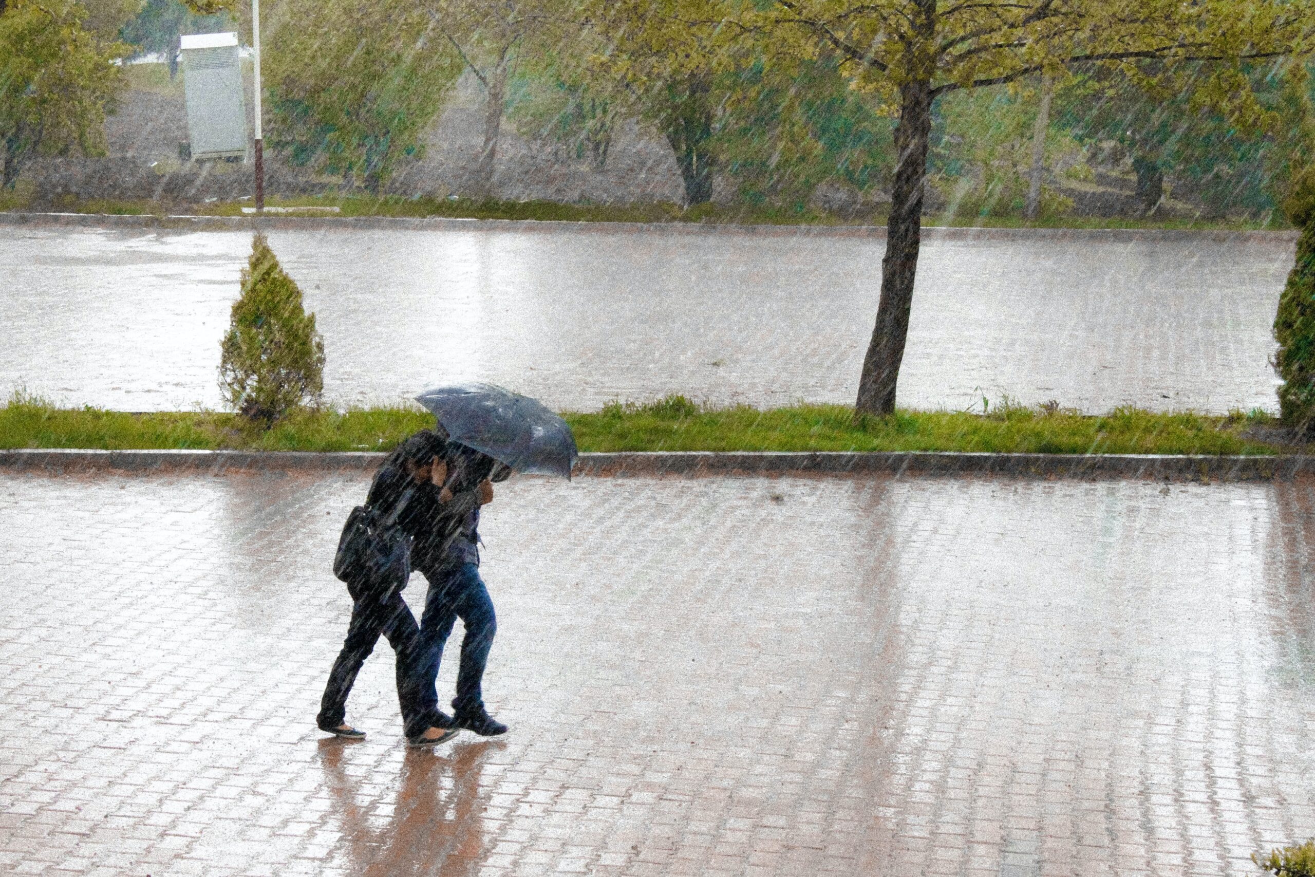
Indonesia has experienced heavy rainfall in many parts of the country over the past few days, which has been attributed to the rare occurrence of two weather phenomena interacting with each other in the waters north of Natuna Island, part of the South China Sea.
According to the Meteorology, Climatology, and Geophysics Agency (BMKG), several areas in Indonesia have the potential to experience light to heavy rain from March 2-3, 2023.
The rainfall has affected several regions, including Sumatra, Java, Kalimantan, Sulawesi, Maluku, and Papua. On March 2, areas around Jakarta, Bogor, Tangerang, and Bekasi were hit by light to heavy rainfall.
Researchers at the Climate and Atmosphere Research Center of the National Research and Innovation Agency have explained that the rainfall in early March was triggered by the interaction of two phenomena in the waters north of Natuna Island.
The first is the Cross Equatorial Northly Surges (CENS), which is a strengthening of northern winds that average over 5 meters/second in the waters of the South China Sea near Java. The second is the Borneo Vortex or cyclone.
According to Erma Yulihastin, a researcher at the Climate and Atmosphere Research Center, the strong winds from the north have contributed to the strengthening of the monsoon winds, which in turn have led to the current strong winds.
She explained that the Borneo Vortex is a wind vortex that has a rotation radius on a mesoscale of tens to hundreds of kilometers.
The interaction of these two factors in the same location for more than 72 hours or four days led to the formation of the Vamei tropical cyclone.
Erma stated that this event is very rare, and the probability of its recurrence is about once every 100-400 years because not all of the conditions required for its formation are met.
The Vamei typhoon itself has been previously studied by researchers from the Department of Meteorology at the Naval Postgraduate School in California, who found that it was the first recorded formation of a tropical cyclone within 1.5 degrees of the equator.
The Borneo Vortex floated to the southern tip of the South China Sea and remained there for four days, while a cold wave developed rapidly over the sea.
The Borneo Vortex then evolved into a tropical cyclone due to its location in southeast Kalimantan, which is located just off the main wind wave belt of the South China Sea.
The vortex then moved offshore and became a narrower circle with a diameter of up to 500 km, and the result was a fast clockwise rotation that resembled a spinning top.
Overall, the interaction of these two rare weather phenomena has led to heavy rainfall in many parts of Indonesia, and scientists are continuing to study the event to gain a better understanding of these complex weather patterns.


